Save money with only 4.5% tax in Evergreen, CO! Now booking Kid's Season Ski & Snowboard rentals

Shopping cart

Your cart is currently empty

Product image slideshow Items
  • Beacon Guidebooks Beacon Guidebooks Off-Piste Ski Atlas Olympic National Park

Beacon Guidebooks Off-Piste Ski Atlas Olympic National Park

$27.95
Excl. tax

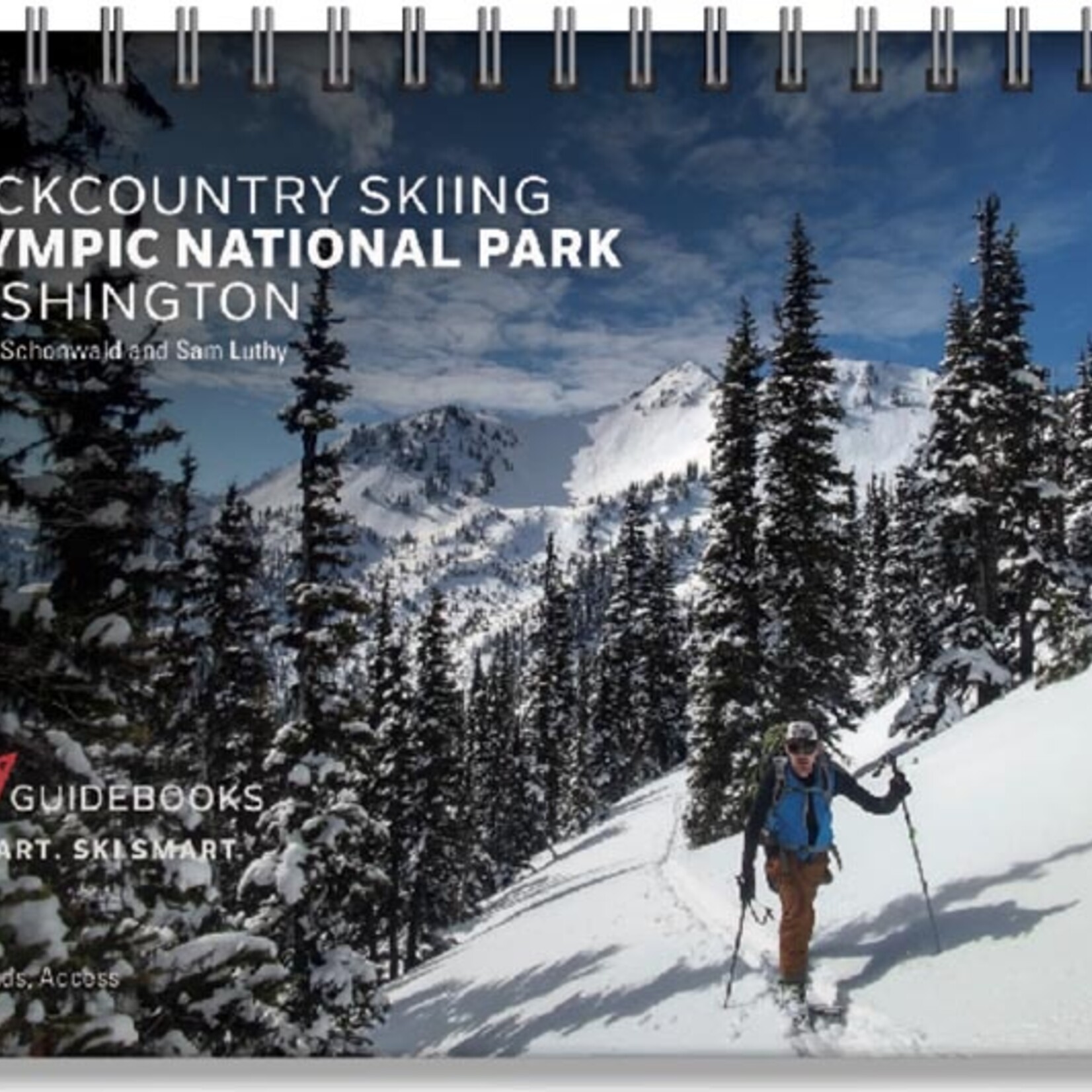
Backcountry Skiing Olympic National Park, Washington is a spiral bound ski atlas by Matt Schonwald and Sam Luthy, covering routes from easy access day tours to long objectives.

The rating of this product is 0 out of 5

(0)
In stock (1)

Backcountry Skiing Olympic National Park, Washington is a spiral bound ski atlas by Matt Schonwald and Sam Luthy, covering routes from easy access day tours to long objectives.

What it's for

This guidebook is for choosing and planning ski and splitboard tours in Olympic National Park, in the Hurricane Ridge, Obstruction Peak, and Deer Park areas named in its zone list. Each zone is shown in an aerial photo with the way up and the way down marked, next to a description of each run.

Features

  • Aerial photos: marked with ascent and descent indicators
  • Run details: individual run descriptions with slope angle and aspect
  • Terrain data: Avalanche Terrain Exposure Scale (ATES) ratings
  • Access: parking and trailhead information
  • Zones covered: Rocky Peak, Roadside, Klahhane, Silver Fir and Angeles South, Angeles West and Super Bowl, Darkside, Mount Angeles Circumnav, Visitor Center and Kingdome, Maggie's and 20th of June, Mustang Bowl and North Bowl, Ski Area, Sunrise and Cox, Hurricane Hill South and North, Steeple Rock North and South, Steeple Rock Burn, Obstruction Peak, Eagle Point and PJ's, Eagle Point North, Elk Mountain, Deer Park South and North, Deer Park Traverse, Lillian Ridge through Moose Peak, L'Otter, Badger, Goat and Moose, Moose Peak West
  • Companions: made to pair with the Beacon Guidebooks Olympic National Park ski map and ski app, each sold separately

How it works

ATES ratings: the Avalanche Terrain Exposure Scale classes terrain by how exposed it is to avalanches. It describes the terrain, not the day's snowpack, so use it together with the current avalanche forecast.

Avalanche training: a map or guidebook does not replace avalanche training, a current forecast, or rescue gear and practice. OMG runs AIARE avalanche courses.

Specs

  • Author: Matt Schonwald and Sam Luthy
  • Binding: Spiral bound
  • Size: 5.5 in x 8.5 in x 0.5 in
  • Weight: 0.7 lb
  • Publisher: Beacon Guidebooks
0 stars based on 0 reviews
Add your review
Please accept cookies to help us improve this website Is this OK? Yes No More on cookies »