Save money with only 4.5% tax in Evergreen, CO!
Your cart is currently empty
Product image slideshow Items
The Arkansas River: Salida to Cañon City Fishing & River Map Guide is the perfect companion for anyone fishing, boating, or exploring this scenic stretch of the Arkansas River.
Description
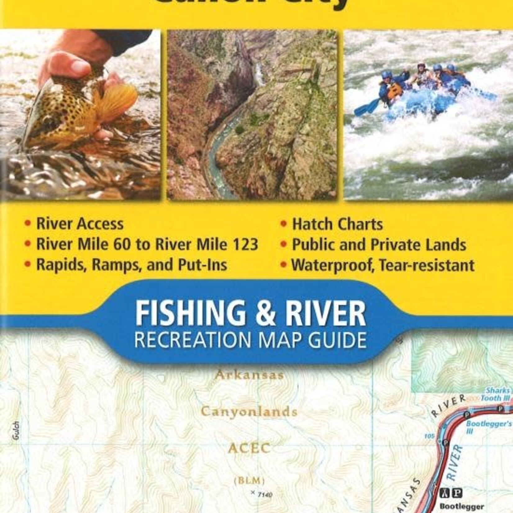
Waterproof • Tear-Resistant • Fishing & River Map
The Arkansas River: Salida to Cañon City Fishing & River Map Guide is the perfect companion for anyone fishing, boating, or exploring this scenic stretch of the Arkansas River. From Salida to Cañon City, the river travels east through a series of high-desert canyons known collectively as Bighorn Sheep Canyon and the Royal Gorge. Along this 56-mile stretch, the river drops approximately 1,700 feet in elevation, creating a dynamic mix of fishing water and whitewater.
The geology and river character change throughout this reach. Canyons confine the river from Salida to Howard, Coaldale to Lone Pine, and Texas Creek to Parkdale, creating faster currents and narrower channels. Between these canyon sections, the terrain opens up and the river widens, often resulting in slower currents and productive fishing water. The final section through the Royal Gorge features a dramatic Class IV+ canyon accessible only by boat and is primarily known for whitewater rather than fishing.
Each Fishing & River Map Guide includes highly detailed river maps at a scale of 1 inch = 1/2 mile, clearly marking every bend in the river and every rapid. Pages are centered on the river and overlap with adjacent pages, making it easy to follow the river and locate specific stretches. The maps identify rapids, river miles, access points, public and private lands, gauging stations, recreation sites, and more.
The guide also features an introduction and expert insights from renowned Arkansas River fly fishing guide Greg Felt, including seasonal fishing strategies and river conditions. Additional resources include streamflow charts, hatch charts, and a comprehensive table of river access points.
More convenient than traditional folded maps yet just as compact and lightweight, National Geographic’s Fishing & River Map Guide booklets are printed on “Backcountry Tough” waterproof, tear-resistant paper and bound with stainless steel staples for durability. A full UTM grid is also included to assist with GPS navigation in the field.