Save money with only 4.5% tax in Evergreen, CO!
Your cart is currently empty
Product image slideshow Items
Developed in partnership with the U.S. Forest Service, the Bureau of Land Management, and other local agencies, this expertly researched map helps guide visitors through outdoor adventures year-round.
Description
Waterproof • Tear-Resistant • Topographic Map
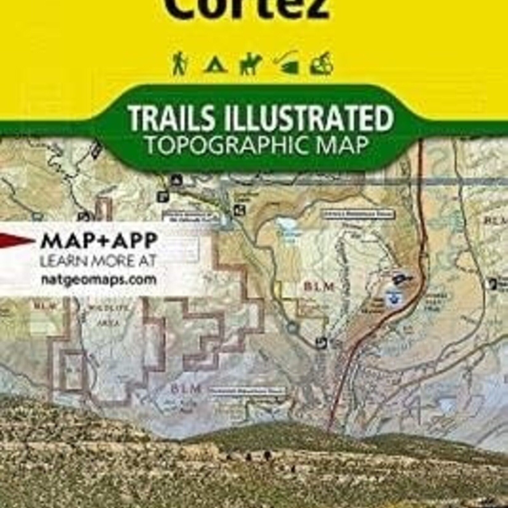
National Geographic’s Trails Illustrated Durango & Cortez Map offers exceptional detail for exploring the culturally rich and scenic landscapes of southwestern Colorado. Developed in partnership with the U.S. Forest Service, the Bureau of Land Management, and other local agencies, this expertly researched map helps guide visitors through outdoor adventures year-round.
The map covers key destinations including San Juan National Forest, Mesa Verde National Park, McPhee Reservoir and its recreation area, the Animas River and Animas Valley, Canyon of the Ancients National Monument, and Purgatory Resort.
A wide variety of trails are clearly mapped, including routes for hiking, biking, and motorized recreation, as well as city and primitive trails. Popular routes such as the Animas River Trail and the Colorado Trail are included, helping visitors explore both well-known and lesser-traveled areas. The map base features contour lines and elevation information for mountain summits and passes to assist with navigation in rugged terrain.
Recreation opportunities are highlighted across all seasons, with symbols marking campgrounds, campsites, alpine and cross-country ski areas, trailheads, interpretive trails, rock climbing sites, fishing areas, boat launches, and whitewater access points. Scenic viewpoints and wildlife viewing areas are also identified to help visitors experience the region’s natural beauty.
In addition, the map includes a guide to regional attractions with descriptions and helpful contact information for both public and private organizations that help manage and maintain the area.
Like all Trails Illustrated maps, it is printed on “Backcountry Tough” waterproof, tear-resistant paper for durability in the field and includes a full UTM grid to assist with GPS navigation.
Key Features on the Map Include:
Durango • Hesperus Mountain • La Plata Mountains • Mesa Verde National Park • San Juan National Forest • Sharkstooth Peak